
~Four Far Eastern Fells~
17th July 2010
Two full weeks since my last walk worth reporting on. Dave Dimmock and I had a carefully planned walk in the furthest reaches of the Lake District, all we needed was a little fine weather to enable us to visit four new summits....
Scroll down for photos and a description of the walk
Swindale Foot
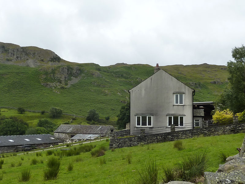
We parked at the last possible spot along the road up Swindale from Rosgill, itself not too far from Shap. This is remote territory and we have chosen a route to take us to the summit of Selside Pike. This is not Lakeland, but it is within the Lake District National Park. The house above was built on a tight budget and there was just not enough money for all the windows, nevermind.
Gouther Crag
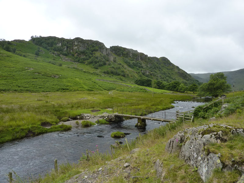
The first part of the walk is along the tarmac road to Swindale Head. The path to Selside Pike will take us up the "Old Corpse Road" which was used for the carrying of the deceased from Mardale to Shap. The last such journey was made in 1736, apparently.
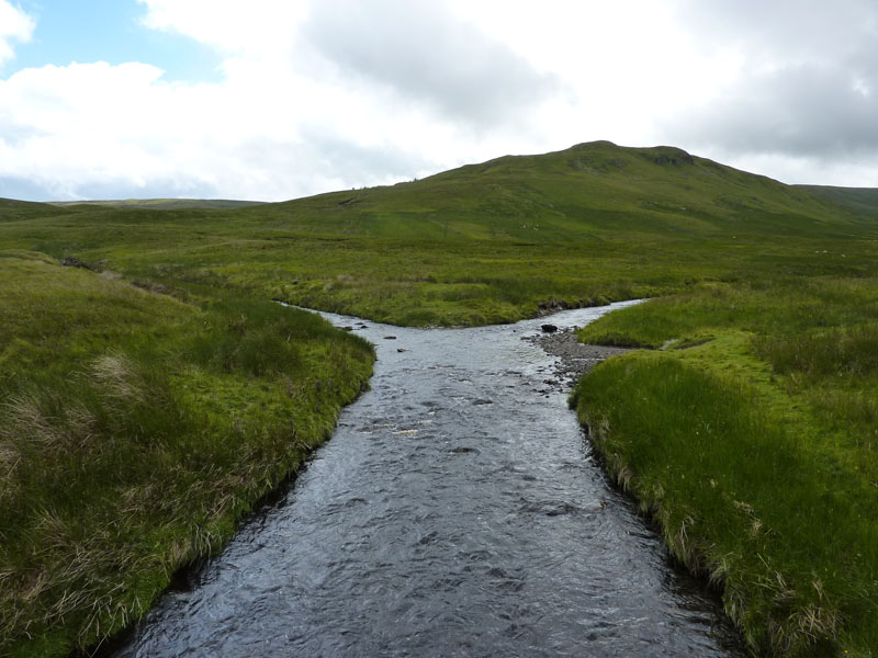
Hobgrumble Gill
The amazingly-named Hobgrumble Gill leads into Swindale Beck, on the right is the intersting side of Selside Pike.
Corpse Road
Rain is imminent.
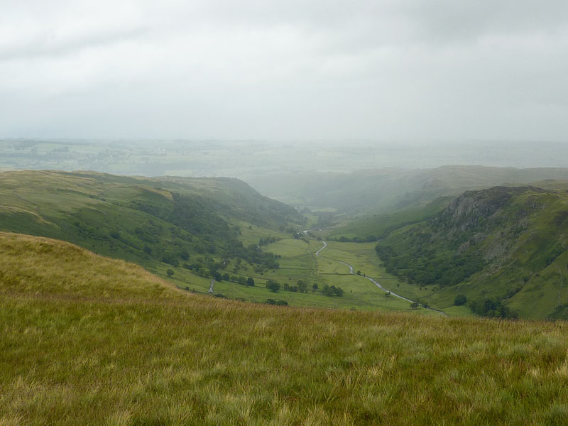
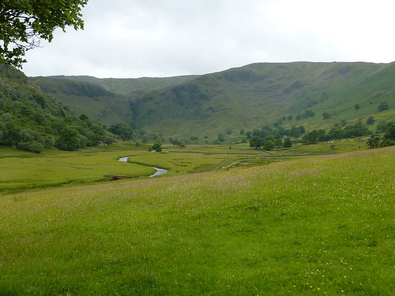
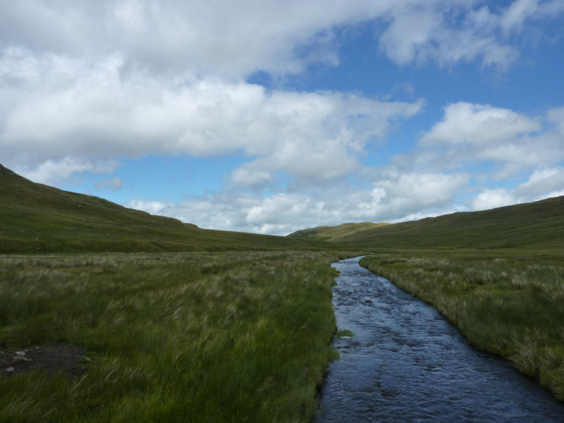
Swindale
The first pulse of rain has passed over us and can be seen moving down the valley. Further precipitation awaits us.
Selside Pike
If you look carefully, you may spot a red-coated walker. He was the only person we saw in the first six hours of our walk. The raindrop on the lens says it all. "The view towards Lakeland is disappointing..." AW. Quite. Mr.Redcoat was not very sociable and strode past us to bag the summit shelter; we didn't want a rest, anyway.
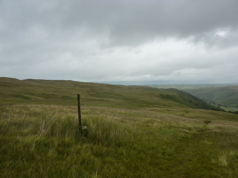
A Shallow Depression
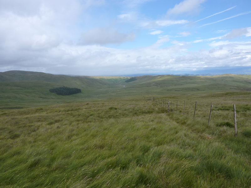
The route to Branstree.
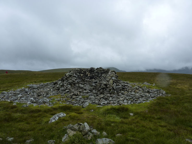
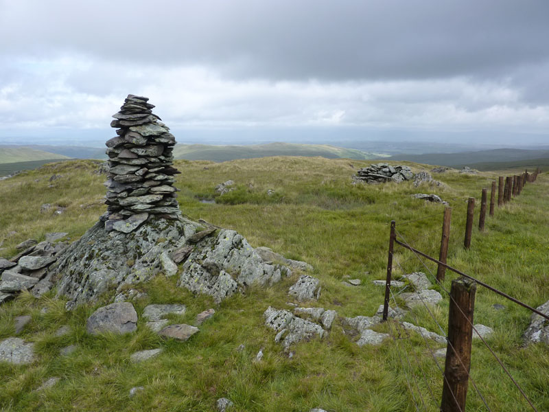
Artlecrag Pike Cairns
Apparently you can see Helvellyn from here. On another day, of course.
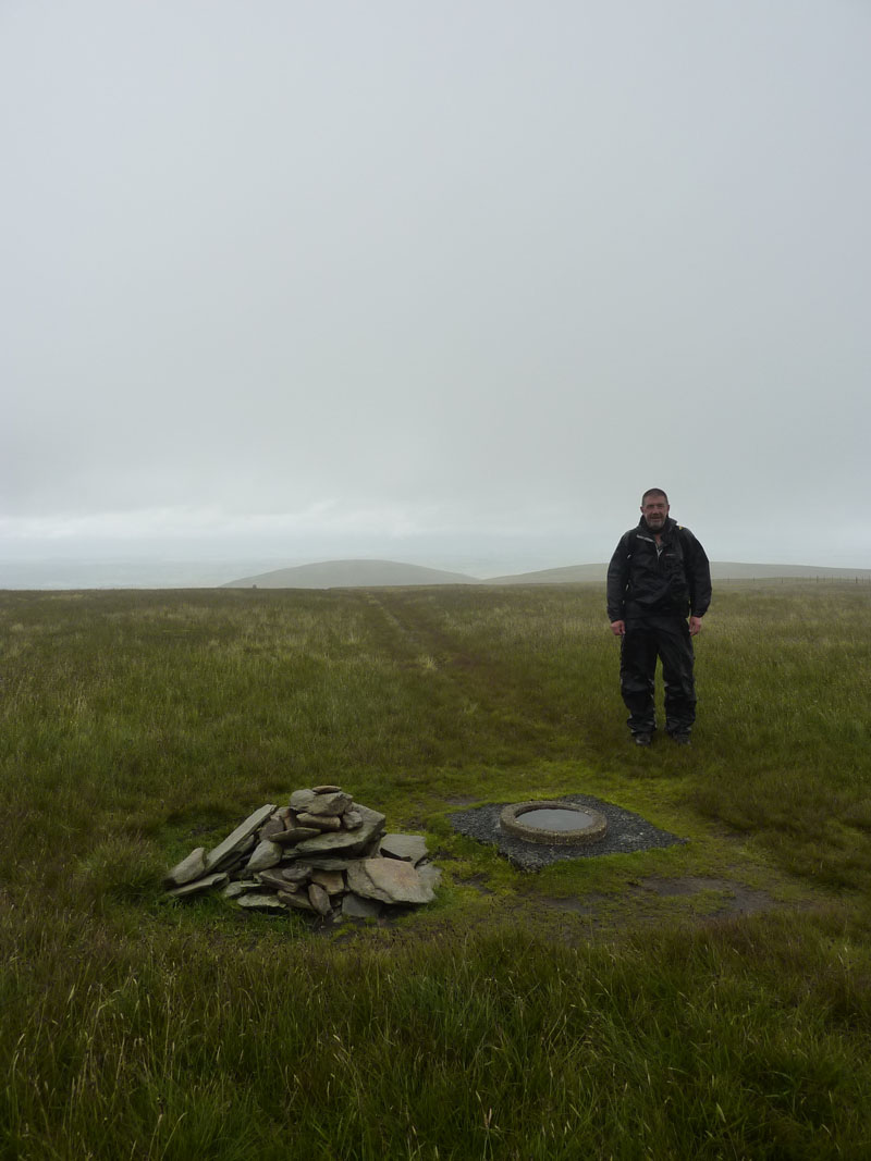
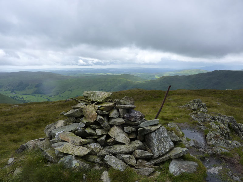
Dave Dimmock at Branstree Summit
A cock-a-hoop David Dimmock throws his hands in the air as he reaches his 100th Wainwright Summit.
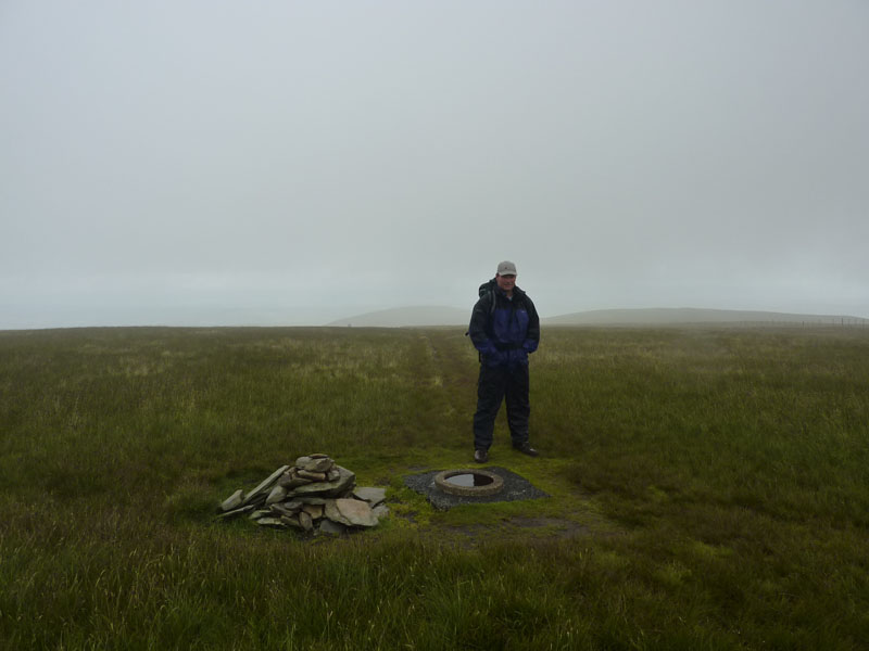
That's Me...
...in the middle of summer, enjoying the bright sunshine and taking adequate protection from dangerous ultra-violet sunrays.
Selside Brow
Here is the route down on the way to Tarn Crag.
Harter Fell
The rain eased and we stopped for a bite to eat. Harter Fell is over there. We are in the midst of a dull trudge.
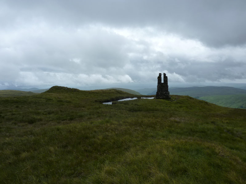
Tarn Crag
The stonework column is a giant catapult, occasionally used to fire boulders towards invading brigands and mountain bikers.
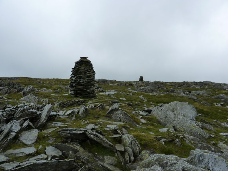
Tarn Crag Summit
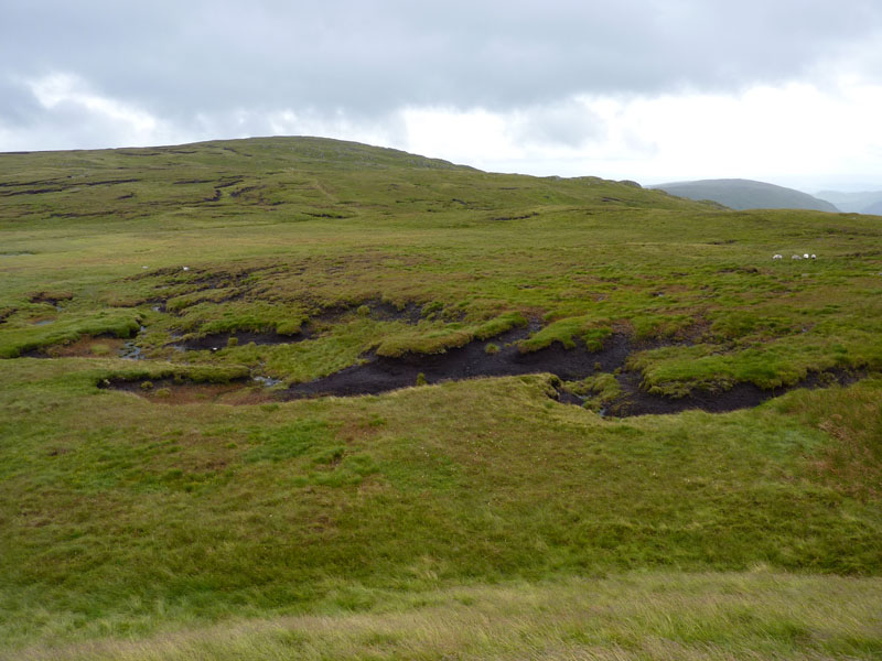
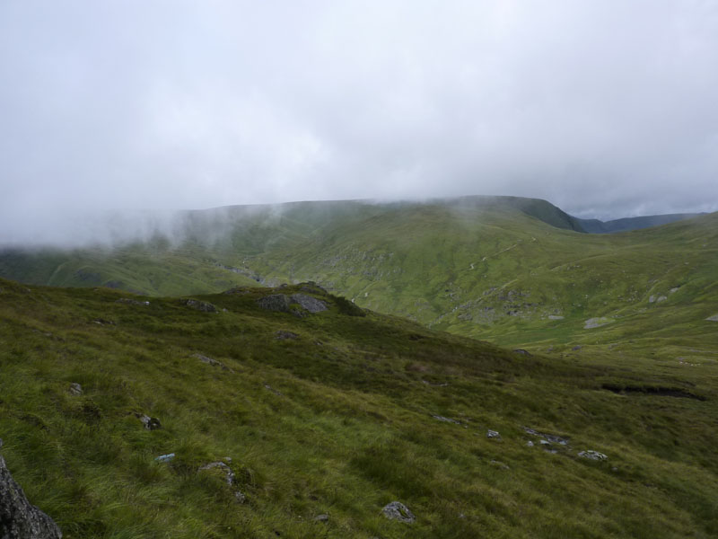
Route to Grey Crag - AONB
An area of outstanding natural bog marsh.
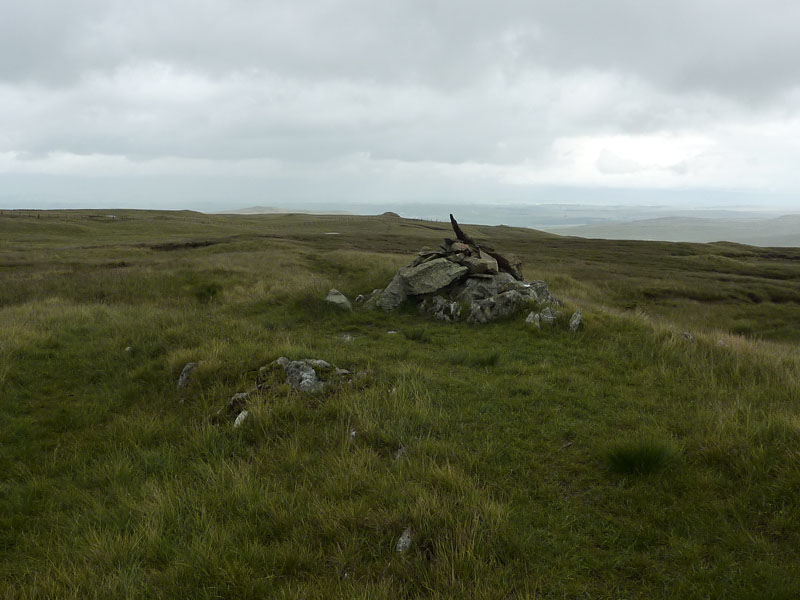
Grey Crag Summit - 4th new top of the day
Harrop Pike
On the route back to Swindale. We stopped here for another snack and the rain has pretty much stopped.
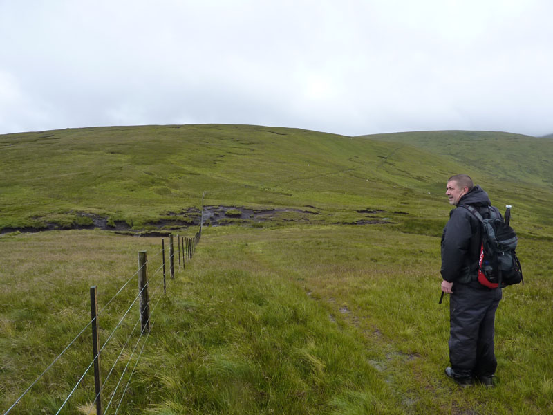
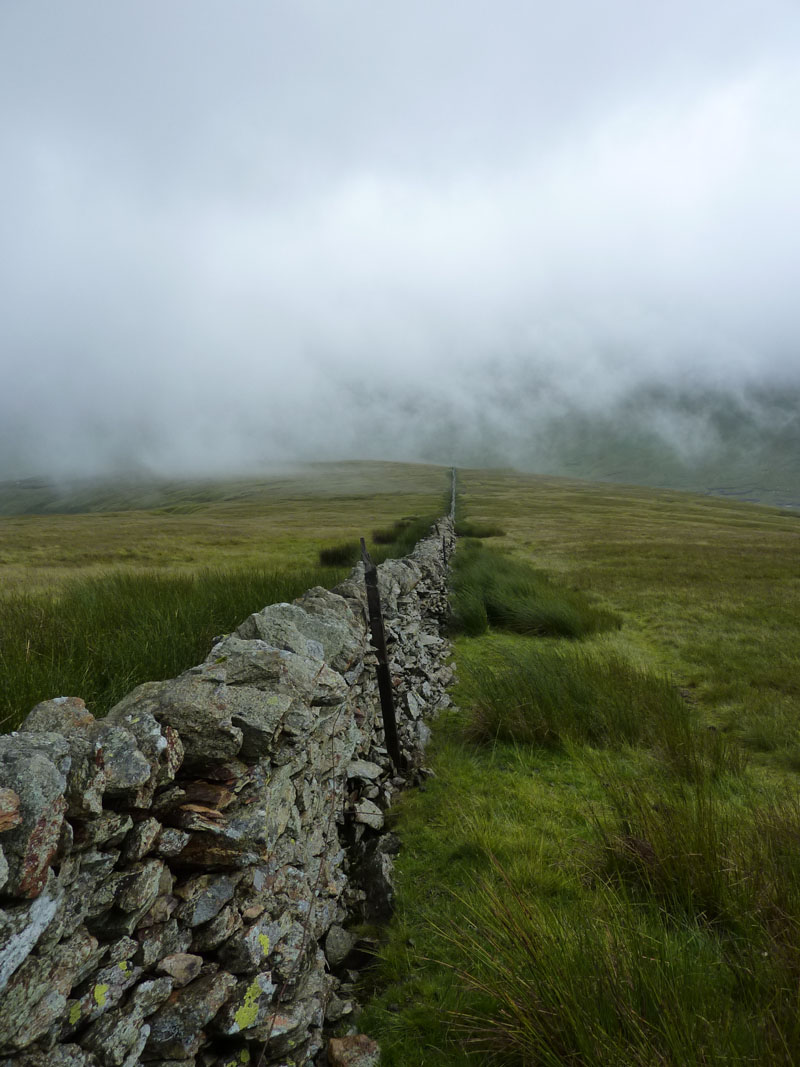
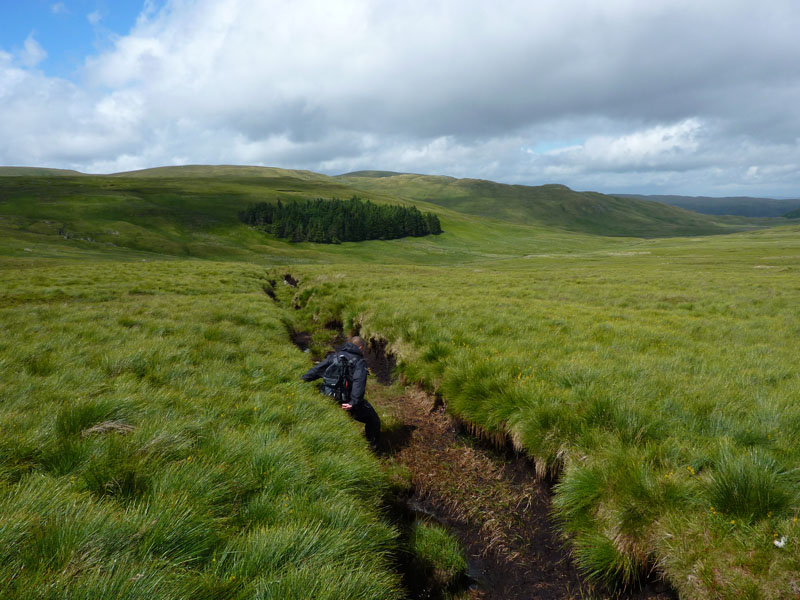
The Fence
We followed this fence, it went on forever. Several drainage channels have been dug across the moor.
Gully
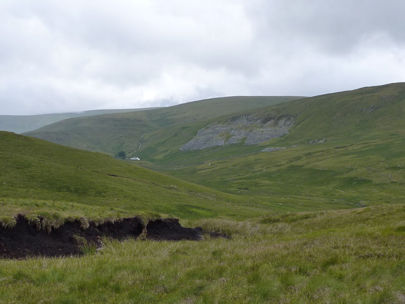
Mosedale Cottage
The white building is known as Mosedale Cottage and is a bothy, Mosedale Quarry is on the fellside - no longer in use.
Confluence
Little Mosedale Beck (l) joins Mosedale Beck (r) and heads off towards Swindale.
Mosedale
The water heads off down the valley and is in for a treat as the steep drop into Swindale takes the flow over Forces Falls.
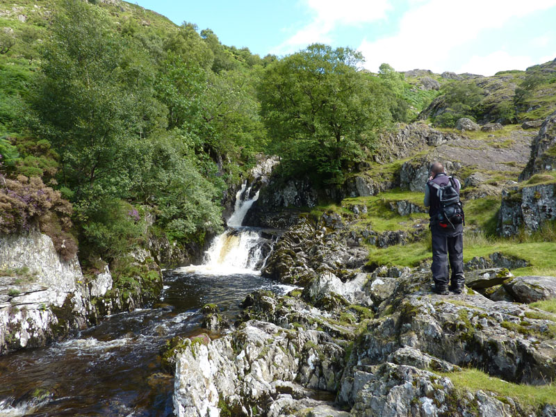
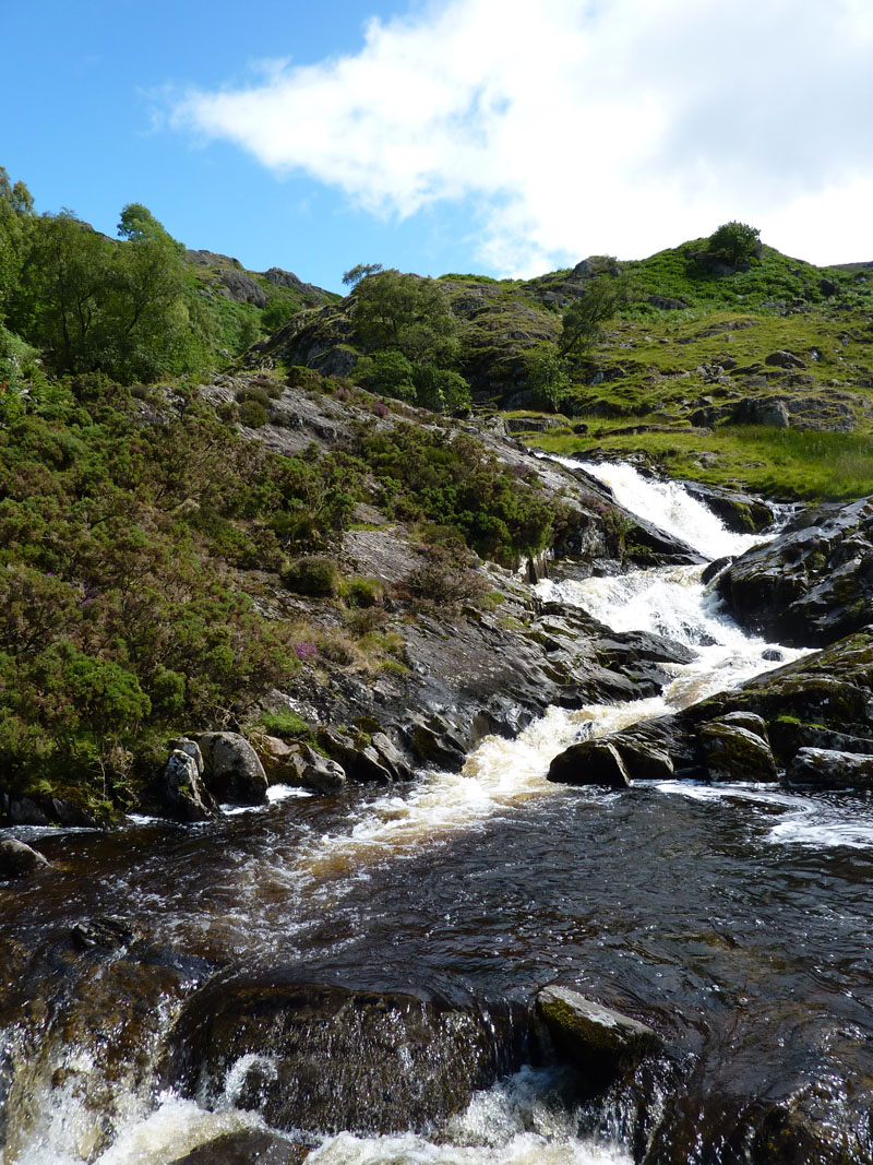
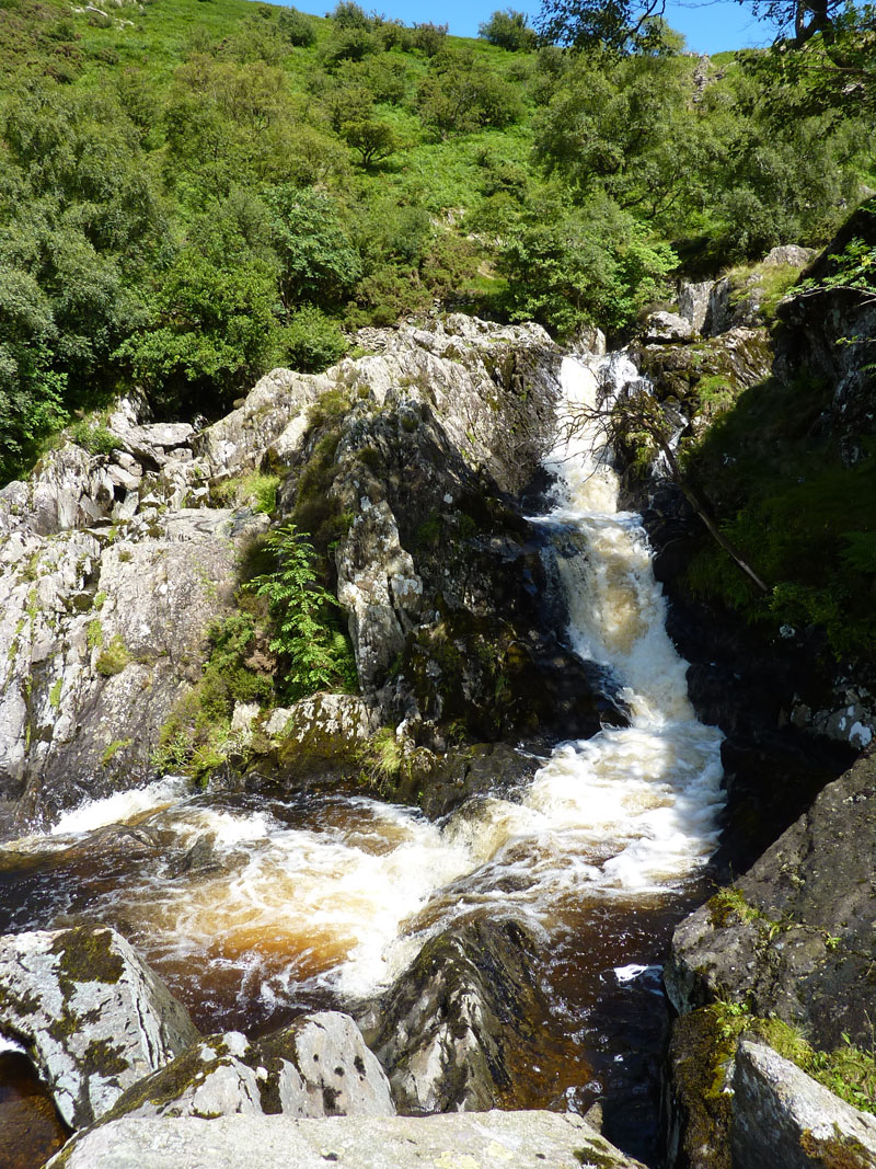
Forces Falls
This was quite a surprise close to the end of a long walk, which had been a little short of good quality photogrpahic matter.
 |
 |
Forces Falls |
Forces Falls |
These waterfalls are well worth a visit, but they are not easy to get to. I'm struggling to think of a more picturesque series of waterfalls in this national park.
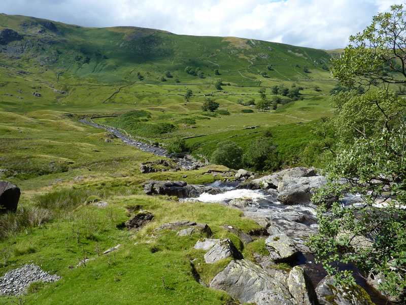
Swindale Head
Dodd Bottom and glacial morraines are in view. The river turns 90 degrees right and heads down Swindale.
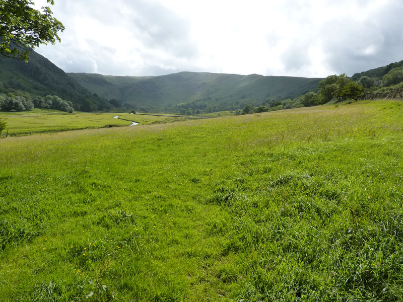
Swindale
A similar view to one taken earlier, but now the sun is out. We carried on walking along the road and back to the car. That was a good walk in changing circumstances, the rain giving way to bright sunshine. Four more summits in the bag and a look at some of the more remote areas of the Lake District National Park.
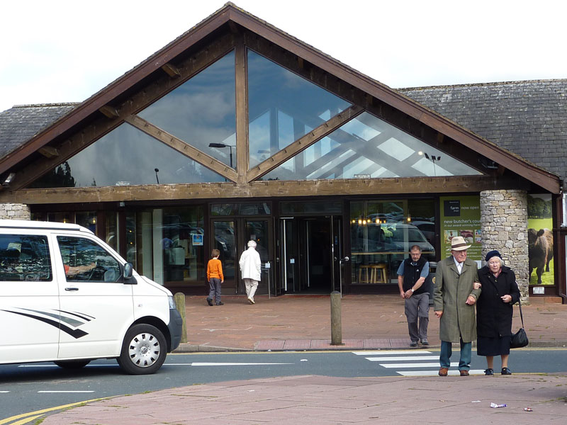
Tebay Services
Walkers: David Dimmock & Me.
Time taken: 7hrs 30 minutes over a distance of about 12 miles.
Route: Swindale, Corpse Road, Selside Pike, Branstree, Tarn Crag, Grey Crag, Harrop Pike, the fence, Mosedale, Forces Falls, Swindale.
Weather and conditions: Steady rain as far as Tarn Crag and then brightening to give sunny intervals.
Greetings Count: One on Selside Pike and a group of four much later in Mosedale.
Richard's Refreshment Review: We called at Tebay services. We refreshed with two coffees and everything was Ok, just as you might expect.
All photos copyright Richard Ratcliffe 2010 ©
Take me back to the start ....